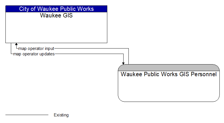
Interface: Waukee GIS - Waukee Public Works GIS Personnel
Information Flow Definitions
map operator input (Existing)
The range of GIS operator inputs that support creation and update of navigable maps and management and distribution of the map data to end users.
map operator updates (Existing)
Interactive display of base map and information layers and associated information that supports map development, management, and dissemination.