Interface: Carlisle Public Works Department - Warren County GIS
Information Flow Definitions
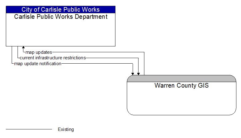
current infrastructure restrictions (Existing)
Restrictions levied on transportation asset usage based on infrastructure design, surveys, tests, or analyses. This includes standard facility design height, width, and weight restrictions, special restrictions such as spring weight restrictions, and temporary facility restrictions that are imposed during maintenance and construction.
map update notification (Existing)
Notification of maintenance, construction, and other activities that will result in medium to long term changes to road location and configuration that may impact navigable maps. This flow includes the timing of the changes and precise enumeration of the location and configuration changes. It also includes updated static speed limits (perhaps other regulatory rules/signage – no U turns, etc.) and default travel times.
map updates (Existing)
Map update that could include a new underlying static or real–time map or map layer(s) update. Map layers can include highways, major roads, streets, public transport routes, pedestrian routes, topography, points of interest, and regulatory information including turn restrictions and speed limits.