How to Use Interactive Maps
To view a map, simply click on the desired map image. This opens a web application that allows you to view multiple layers, change basemaps, measure distances and areas, share maps via email or social media, and also print PDFs of maps.
- Interacting with layers: Click on features to see a pop-up with more information.
- Changing layers:Click the Layers dropdown menu and choose which layers you want on or off.
- Changing basemaps: Click the Basemapdropdown menu and select the desired basemap.
- Measuring distance and area: Click Measure and select a measurement tool.
- Sharing: Click the Share dropdown menu and choose how you want to share the map.
- Printing: Click the Print dropdown menu and select a page format.
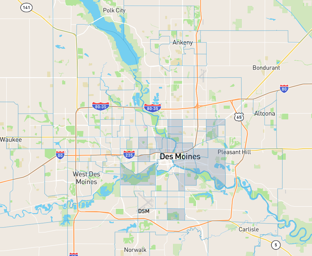
MPO Member Map
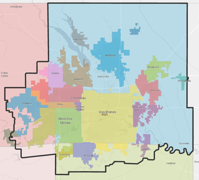
Map displaying the members of the MPO and their membership status.
Find out more about the MPO and its members here.
Central Iowa Trails

Navigate 600 miles of trails with ease, with this new interactive and customizable map! Layers include regional trails, local trails, on-street bikeways, nature/dirt trails, B-Cycle locations, restaurants/attractions near trails, and parks/open space.
Central Iowa Trail Roughness Experience
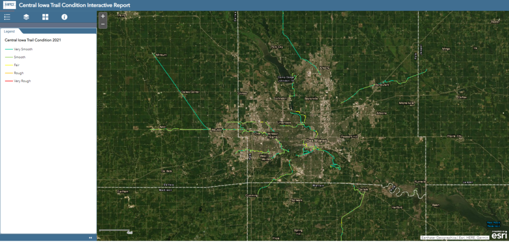
Review Central Iowa trail pavement roughness collected by the Data Bike.
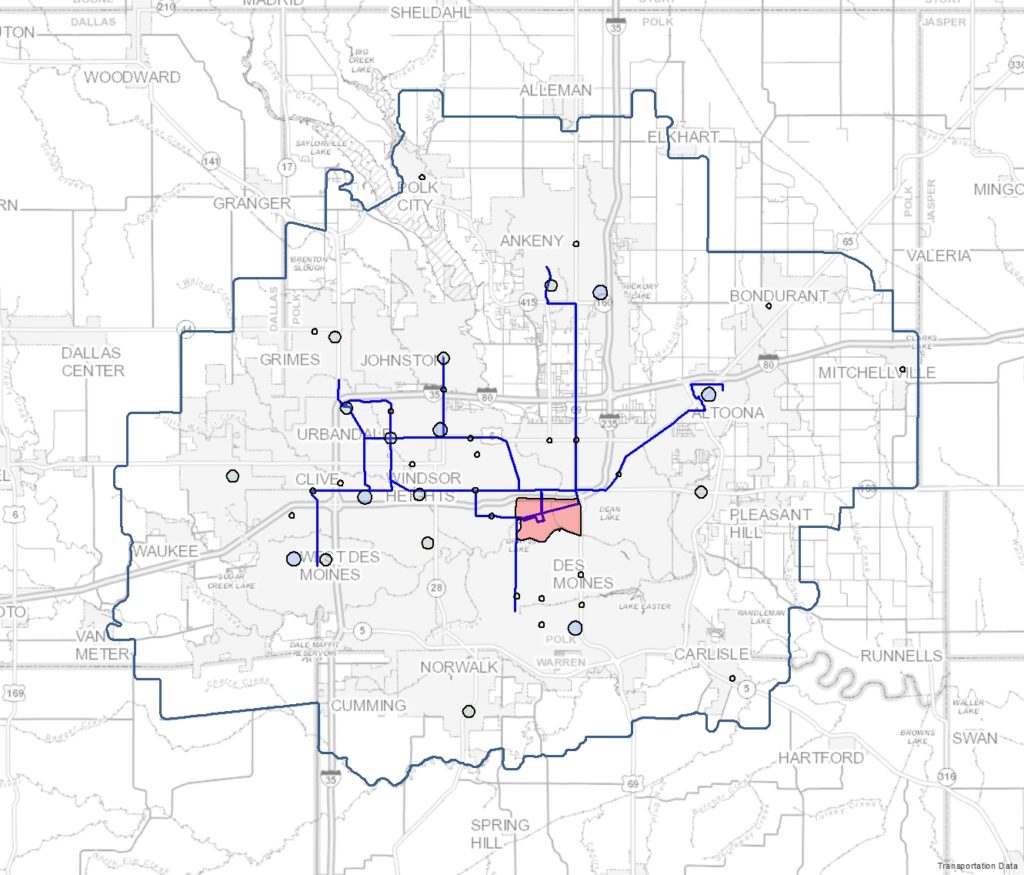
Bridge Conditions

Map displaying bridge conditions in the MPO planning area using National Bridge Inventory (NBI) data from the Iowa Department of Transportation (DOT).
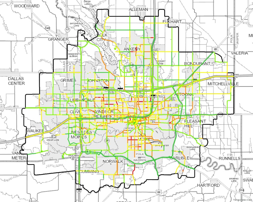
Measures on a Map
This map provides a glimpse at how well the transportation system in the region is performing. Projects that will be included in the MPO’s next long-range transportation plan, Mobilizing Tomorrow, will address the various performance measures displayed in this map.
Modal Map
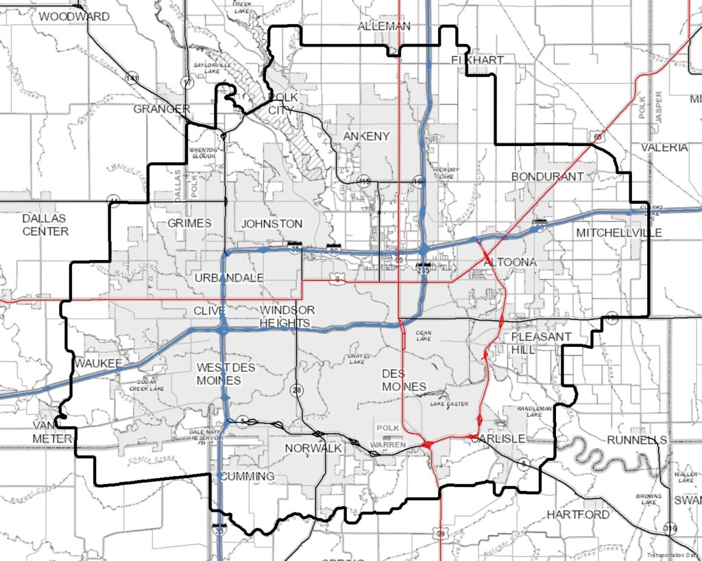
Map displaying the Interstate and Highway system, the Federal Functional Classification System (FFCS), transit routes, and the location of airports in central Iowa.
Pavement Condition Index (PCI) Ratings Map
Map of pavement conditions in the MPO Planning Area. Pavement condition data was obtained from the Iowa Department of Transportation (DOT) and the Institute for Transportation at Iowa State University (InTrans).
Priority Transportation Projects
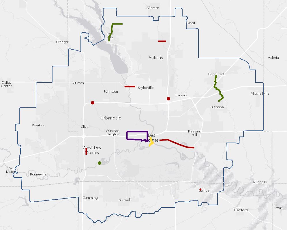
Map of Priority Transportation Projects included in the Greater Des Moines Partnership’s Policy Book for its trip to Washington, D.C., where local business and community leaders present on the projects to Iowa’s congressional delegation.
Rail Map
Inventory of rail data from the Iowa Department of Transportation (DOT). Map includes rail lines, processing facilities, and bio-diesel, ethanol, and grain facilities.
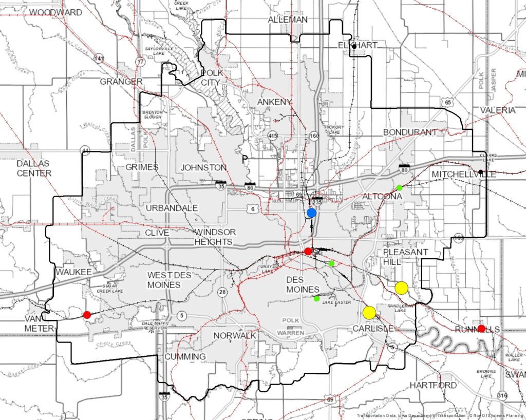
Transportation Improvement Program (TIP) Projects
Map of projects in the Transportation Improvement Program (TIP) for the years 2014 through 2017.
Source: Iowa DOT: Transportation Program Management System (TPMS)
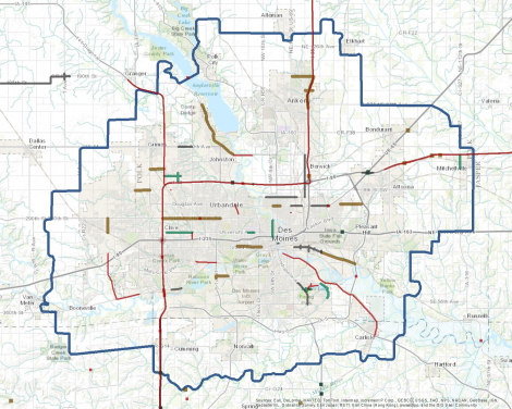
Greater Des Moines Transportation Projects (TCIP) FY2021 – FY2024 Map
Map of all federally and locally funded transportation projects (TCIP) from FY2021 – FY2024 in the Des Moines Area MPO planning area.
Sources: Iowa DOT: Transportation Program Management System (TPMS) and MPO member governments’ capital improvement programs
STBG and STBG Set-Aside Projects and Applications for Federal Fiscal Year 2027
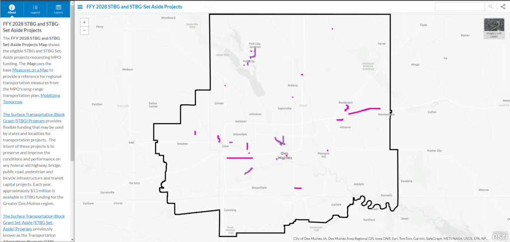
Map of projects applying for and receiving funds from the Surface Transportation Block Grant Program (STBG) and Surface Transportation Block Grant Set-Aside Program (STBG Set Aside, formerly TAP).
Source: Des Moines Area MPO
Historical Aerial Imagery Map
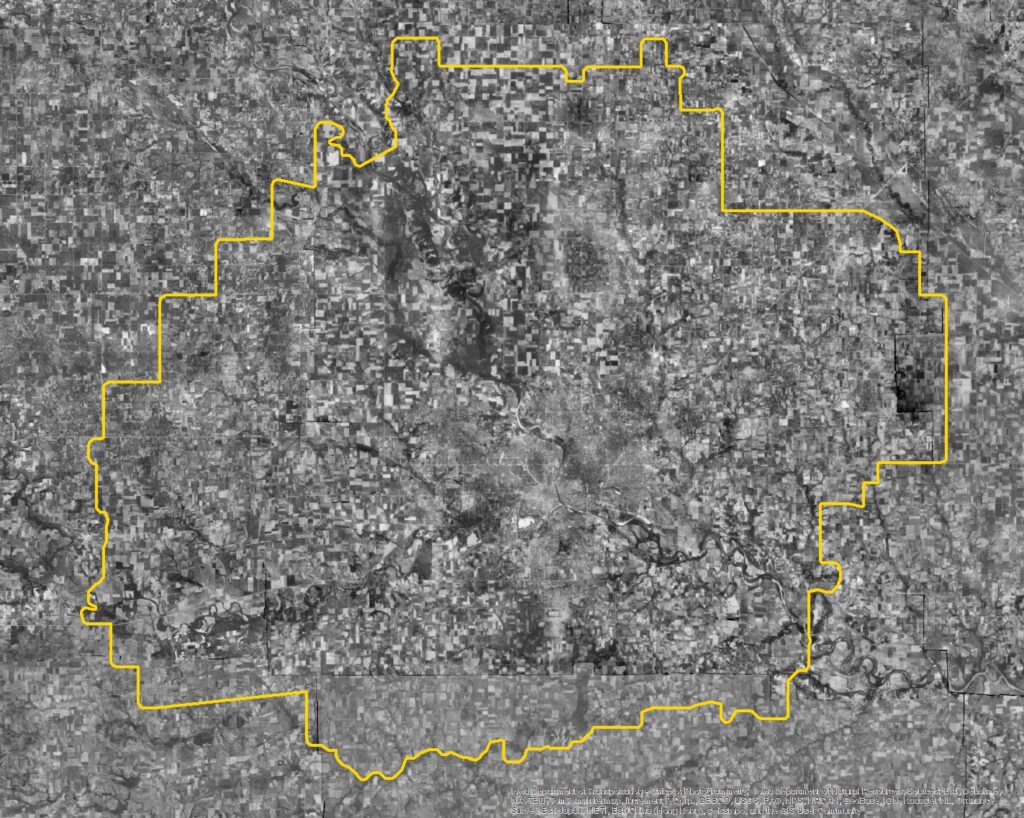
Historical aerial imagery for the State of Iowa provided by the Iowa Department of Transportation (DOT). Years included: 1930s, 1950s, 1960s, 1970s, 1990s, and 2011.
Source: https://geonexusr.iowadot.gov/ArcGIS/rest/services/AerialImagery/Aerial_Imagery_Historic/MapServer
MPO Environmental Justice (EJ) Areas
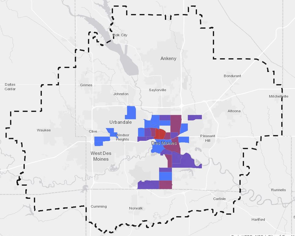
This map displays areas where there are concentrated groups of traditionally under-served populations, including low-income residents and minority populations, among others.
EPA Environmental Justice (EJ) Screen
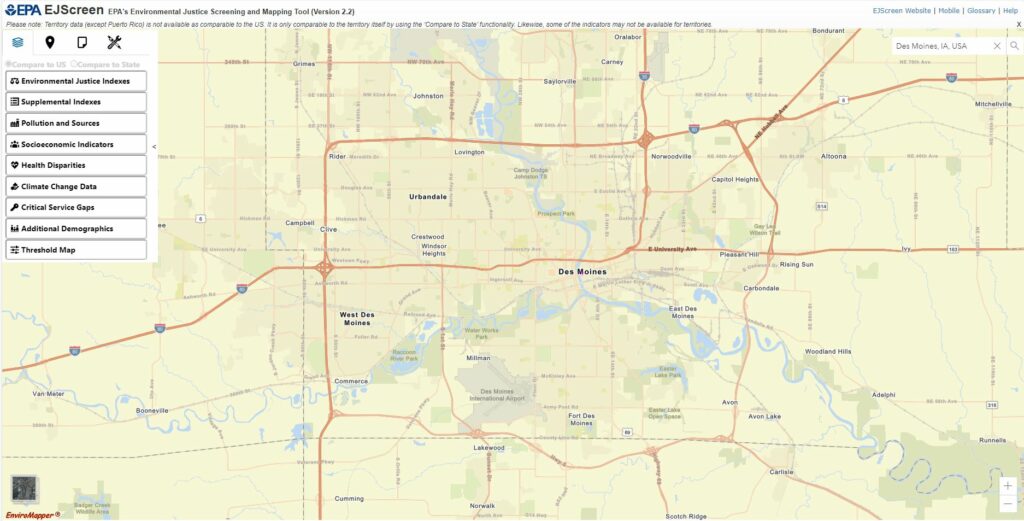
EJScreen is an environmental justice mapping and screening tool developed by the Environmental Protection Agency (EPA) that provides nationally consistent demographic and environmental information for a project area. This screening tool combines environmental and demographic socioeconomic indicators into EJ Indexes. EJScreen users choose a geographic area; the tool then provides demographic socioeconomic and environmental information for that area. All of the EJScreen indicators are publicly available data. The tool provides a number of capabilities including color-coded mapping, the ability to generate a standard report for a selected area, and comparisons showing how a selected area compares to the state or the nation. For more information, please visit the EPA’s EJScreen webpage.
Climate and Economic Justice Screening Tool (Justice40 Initiative)
In Executive Order 14008 on Tackling the Climate Crisis at Home and Abroad, President Biden directed the Council on Environmental Quality (CEQ) to create a Climate and Economic Justice Screening Tool. The purpose of the tool is to help Federal agencies identify disadvantaged communities that are marginalized, underserved, and overburdened by pollution. The current version of the tool provides socioeconomic, environmental, and climate information to inform decisions that may affect these communities. The tool identifies disadvantaged communities through publicly-available, nationally-consistent datasets.
Transportation Disadvantaged Census Tracts (Historically Disadvantaged Communities)
The U.S. Department of Transportation (DOT) identified disadvantaged census tracts throughout the U.S. as part of the Justice40 grant program implementation. Communities applying to the Justice40 grant program can use the tool to determine eligibility for funding. For more information on definitions and methodologies, please visit the US DOT’s Transportation Disadvantaged Census Tracts (Historically Disadvantaged Communities) webpage.
Equitable Transportation Community (ETC) Explorer
The U.S. Department of Transportation (DOT)’s Equitable Transportation Community (ETC) Explorer is an interactive web application that uses 2020 Census tracts and data to explore the cumulative burden communities experience as a result of underinvestment in transportation, in the following five components: Transportation Insecurity, Climate and Disaster Risk Burden, Environmental Burden, Health Vulnerability, and Social Vulnerability.
Natural Areas
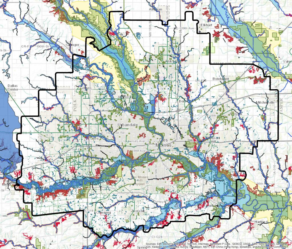
This map displays the locations of environmentally sensitive areas in central Iowa. This tool can help inform quality growth and conservation decisions by local governments in the region.
Watershed Map
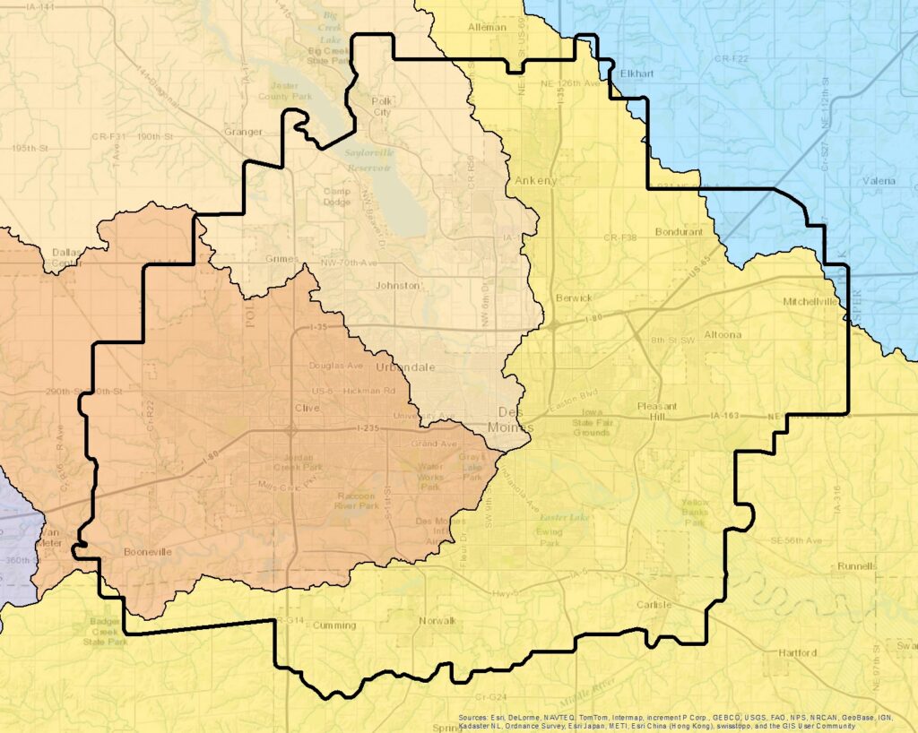
Map of HUC 8 Watersheds in the MPO planning area. Data obtained from the Iowa Department of Natural Resources DNR).
Source: Iowa Department of Natural Resources – Watershed Boundary Dataset (WBD)
Des Moines Metro Electric Vehicle Charging Stations
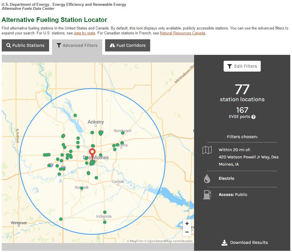
The US Department of Energy maintains the Alternative Fueling Station Locator. The default search setting applied is all public and private electric charging stations that are 20 miles from the Des Moines Area MPO office. Compare the costs of driving with electricity using the Department of Energy’s eGallon.
Source: https://afdc.energy.gov/stations/#/find/nearest
Greater Des Moines Valuation Per Acre
This interactive story map uses three-dimensional illustrations to show property value per acre — highlighting the development patterns with the highest return on public investment.
Source: Urban3
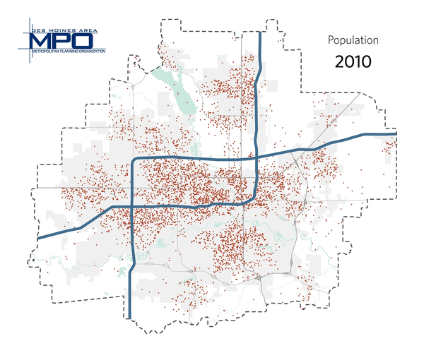
Population Growth: 2010-2050
Map illustrating map of expected population increase in Greater Des Moines. Data obtained from Regional Economic Model Inc. (REMI).
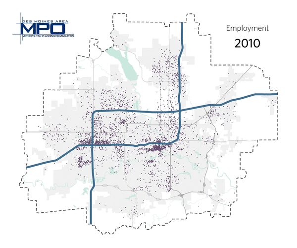
Employment Growth: 2010-2050
Map illustrating map of expected population increase in Greater Des Moines. Data obtained from Regional Economic Model Inc. (REMI).
Iowa Department of Transportation Traffic Data
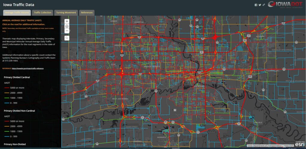
Map showing the Annual Average Daily Traffic (AADT) of primary, secondary, and municipal vehicular AADT for centerline roads in the State of Iowa.
Source: https://iowadot.maps.arcgis.com/apps/MapSeries/index.html?appid=0cce99afb78e4d3b9b24f8263717f910
Iowa Department of Transportation Potential for Crash Reduction (PCR) of Intersections
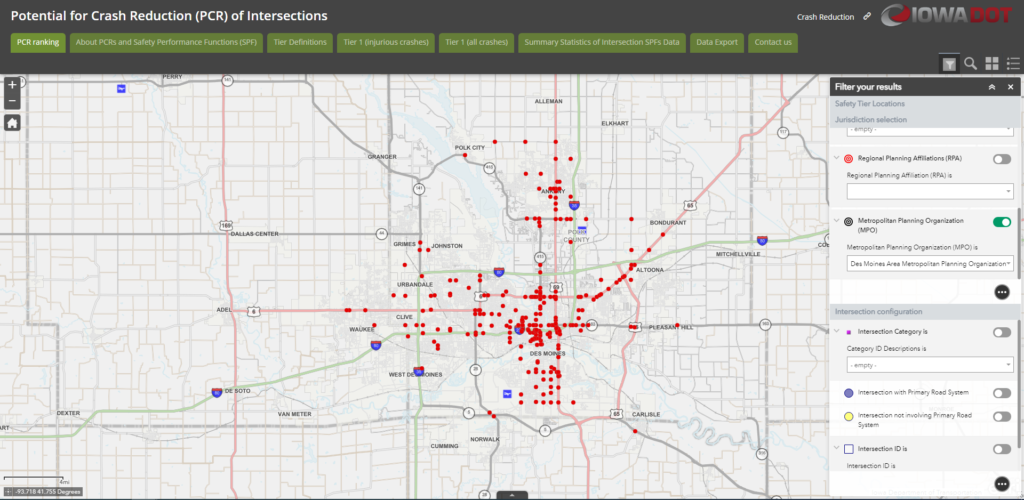
Map from the Iowa Department of Transportation showing intersections with the potential for safety improvements across Iowa.
Source: https://iowadot.maps.arcgis.com/apps/MapSeries/index.html?appid=0cce99afb78e4d3b9b24f8263717f910
Iowa Department of Transportation Infrastructure Condition Evaluation (ICE) Map
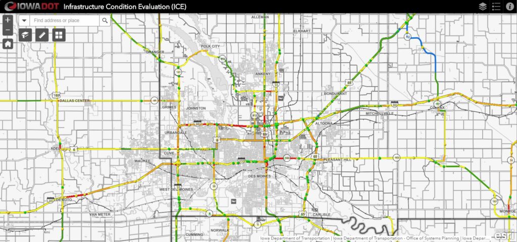
Map of the Infrastructure Condition Evaluation (ICE) Highway Planning Report from Iowa Department of Transportation (DOT) Systems Planning Bureau.
Source: https://iowadot.maps.arcgis.com/apps/webappviewer/index.html?id=23c9e6c132c8498bab6cb2e85b21ec7e
Iowa Department of Transportation Major Construction Projects
The Iowa DOT maintains a webpage that shares general information on projects that have the potential to cause major impacts to the traveling public.
Iowa Department of Transportation Five Year Program
Map of the Iowa Department of Transportation’s Five Year Program projects for the State of Iowa.
Source: https://arcg.is/11iLub
Iowa Department of Transportation Public Portal
The Iowa Department of Transportation maintains this online map of its public engagement as well as public comments for its projects.