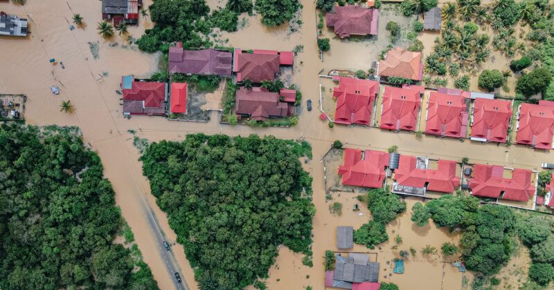
From flooding to winter storms, tornados and derechos, Central Iowa is no stranger to climate hazards.
To better understand how to prepare for and adapt to the changing climate, this webpage will connect you with information to aid in the understanding of how hazards, risks, and vulnerabilities can be identified and addressed.


Hazard Mitigation Plans
For any county in the region, one of the best places to start assessing risk is by examining their Hazard Mitigation Plan (HMP). These plans outline community assets and capabilities, natural and man-made hazards, and actions jurisdictions plan to take to mitigate hazards within their communities. To access each Central Iowa county’s HMP follow the links below.
| Boone County | Dallas County | Jasper County | Madison County |
| Marion County | Polk County | Story County | Warren County |
National Risk Index
The National Risk Index is an online mapping application from FEMA that identifies communities most at risk to 18 natural hazards. This application visualizes natural hazard risk metrics and includes data about expected annual losses from natural hazards, social vulnerability and community resilience.
The National Risk Index’s interactive web maps are at the county and Census tract level and made available via geographic information system (GIS) services for custom analyses. With this data, you can discover a holistic view of community risk to natural hazards.
This tool combined with the in-depth information found in local hazard mitigation plans will assist planners and communities in determining priorities and actions to take to reduce risk.


Social Vulnerability Index
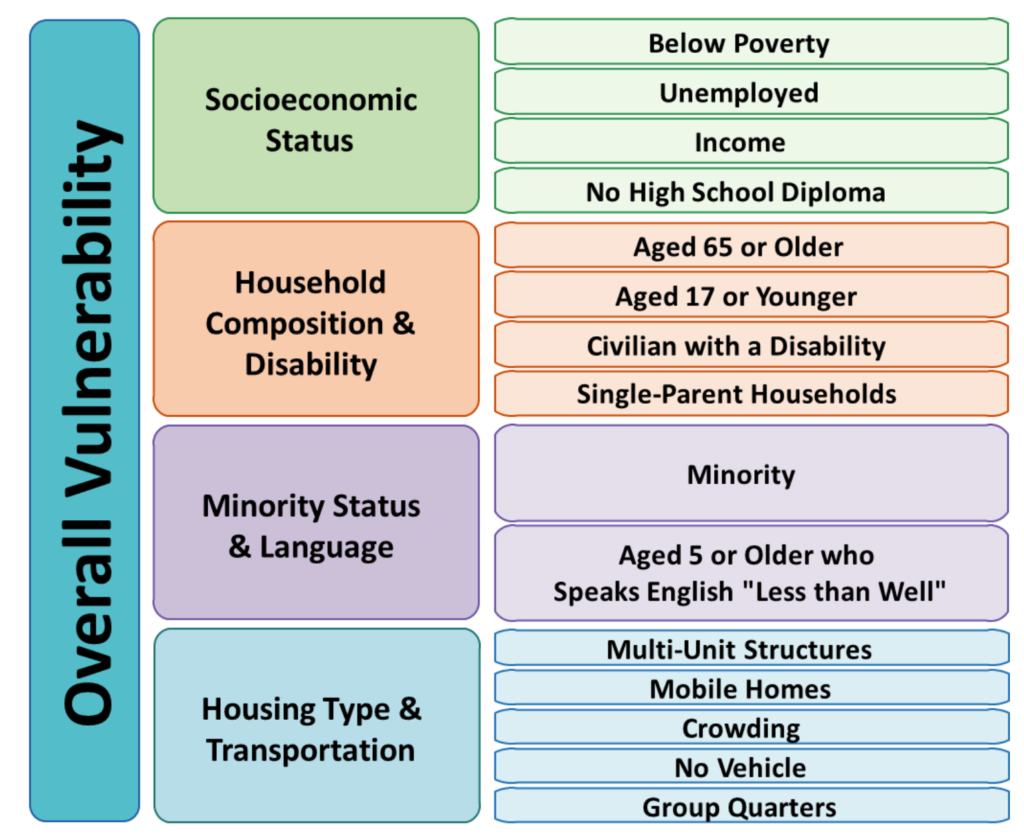
Social vulnerability refers to the potential negative effects on communities caused by external stresses on human health. Such stresses include natural or human-caused disasters, or disease outbreaks. Reducing social vulnerability can decrease both human suffering and economic loss.
The CDC/ATSDR Social Vulnerability Index (CDC/ATSDR SVI) uses 15 U.S. census variables to help local officials identify communities that may need support before, during, or after disasters.
To access each Central Iowa county’s 2018 CDC SVI follow the links below.
| Boone County | Dallas County | Jasper County | Madison County |
| Marion County | Polk County | Story County | Warren County |
DMAMPO Environmental Justice
Similar to the CDC’s Social Vulnerability Index, DMAMPO staff also compiles an Environmental Justice report which outlines at the census tract level seven degrees of disadvantage relating directly to transportation and personal mobility: carless households, households in poverty, single head of household with children, persons with disabilities, non-white populations, limited-English proficiency, and households with person over 65. Below is the 2021 DMAMPO Environmental Justice Report.
An online map of Environmental Justice areas can be found here.
Health Vulnerabilities
Extreme weather can impact health and wellness of the community. In addition to fatalities and injuries directly caused by these events, underlying health issues can have major impacts on individuals. Heart attacks have been found to trend upwards after snowfall; heat waves bring numerous ailments for those who are not able to cool down; wildfire smoke can carry hundreds of miles and exacerbate asthma.
Below are some of the major factors when examining community health overall and through climate change impacts. Data for each of the Central Iowa counites is broken down in the following document by Health Outcomes and Health Factors by University of Wisconsin’s Population Health Institute.
Energy Vulnerabilities
Energy production and consumption is a piece of the climate problem, but also a major piece of mitigation opportunities. The US Department of Energy has created a report regarding U.S. Energy Sector Vulnerabilities to Climate Change and Extreme Weather, and below is regional report for vulnerabilities and solutions.

